
Emporia, USA
Ride or run · Council Bluffs to Blanchard, USA
Wabash Trace Nature Trail
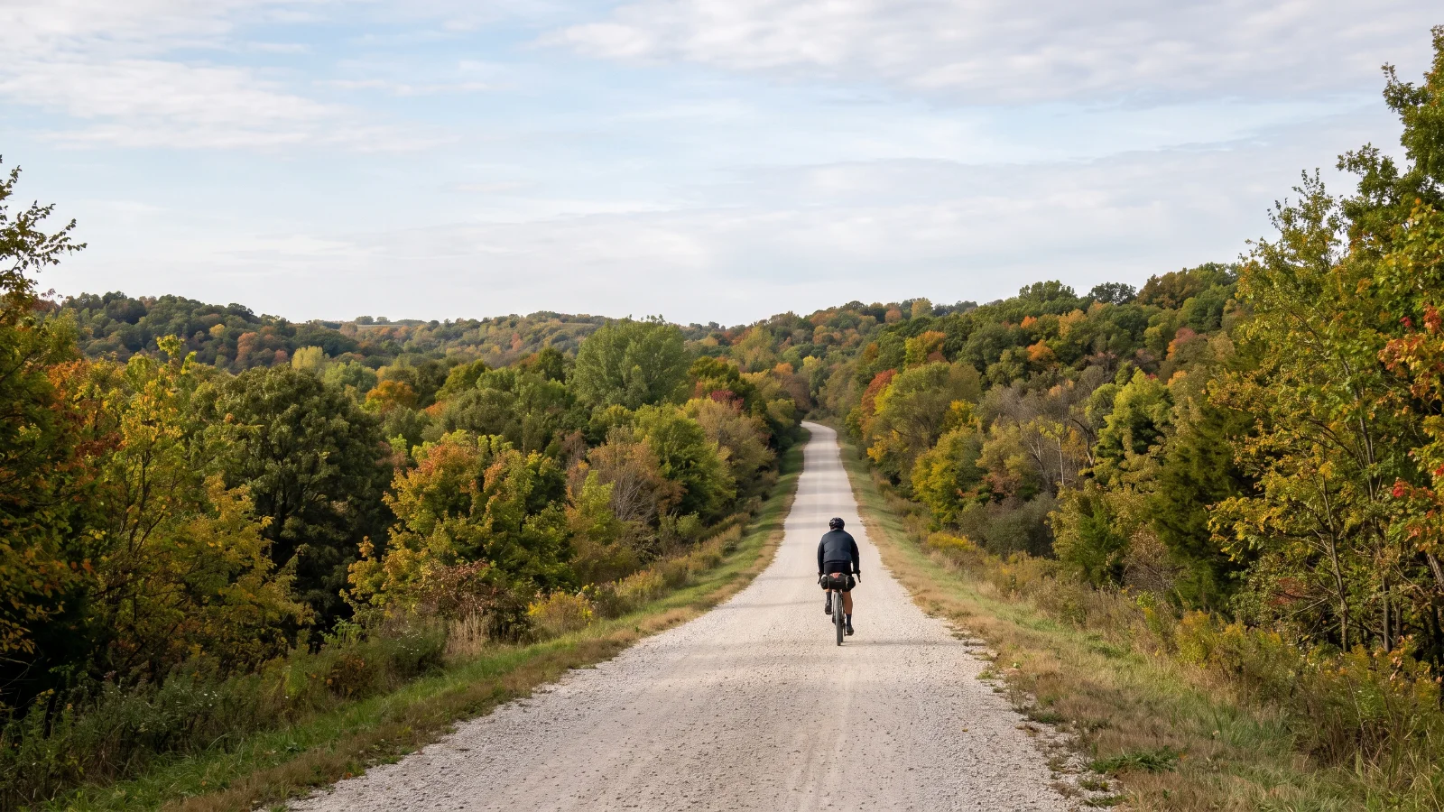
A long, flat crushed limestone rail trail through the timbered hills of southwest Iowa.
Illustration
- 99.8kilometres
- Point to pointroute
- Rail trail or bike pathsurface
The ride
About this ride
The Wabash Trace follows an old railroad corridor for around 100 kilometres between Council Bluffs and the Missouri border at Blanchard, making it one of the longest continuous rail trails in the Midwest. The surface is a mix of crushed limestone and concrete, generally flat and shaded by trees for much of its length, crossing more than 70 historic bridges over creeks and streams as it links eight small trail towns. Because of its length, most riders treat it as a one way trip with a car shuffle, or a there-and-back ride of whatever distance suits, rather than a full round trip in a day. Surface quality varies by section and can get soft after heavy rain, and some stretches see less maintenance than the busier northern end near Council Bluffs. Spring through autumn is the best window; the trail towns along the way have basic cafes and stores, but the gaps between them can be long, so carry water.
Good to know
- Over 80 km. Plan your food and water stops before you go.
- Riders report next to no traffic.
- Low scores across the board. A good first gravel ride.
Before you go
Full length is a long one-way ride; plan a shuttle or ride a shorter out-and-back section instead.
Route information from traveliowa.com
- Distance
- 99.8 km
- Route
- Point to point
- Best season
- Spring to autumn
- Surface
- Rail trail or bike path
- Activity
- Ride or run
- Rough time
- 4.5 to 6.5 h
Key facts
Difficulty
How hard is it?
Overall difficulty
Easy going1.3 / 5
Fine for a first gravel ride.
Scores from the rider who added it. No reviews yet. Worked out from the hilly, rough and technical scores.How much climbing. 1 is flat or gently rolling, 3 has a proper climb or two, 5 is mountain passes and long grades.1
How rough the surface is. 1 is smooth hard-packed gravel, 3 has loose or corrugated stretches, 5 is rocky, rutted or sandy for long sections.2
How much skill it takes. 1 needs none in particular, 3 has loose descents or creek crossings, 5 is singletrack, steep drops or hike-a-bike.1
How many cars. 1 is almost none, 3 shares some sealed road with traffic, 5 has busy or fast sections.1
Riders say
Rider reviews
Honest ratings from members who have ridden it.
Keep riding
More rides near Council Bluffs to Blanchard
Winter Park, USA
Crooked Gravel Long Course
Suches, USA
Toccoa Swinging Bridge