
Kumara, New Zealand
Ride · Haugastol to Flam, Norway
Rallarvegen
An 80km point to point gravel classic descending Norway's old railway construction road to Flam.
Illustration
- 80kilometres
- Point to pointroute
- Chunky gravelsurface
The ride
About this ride
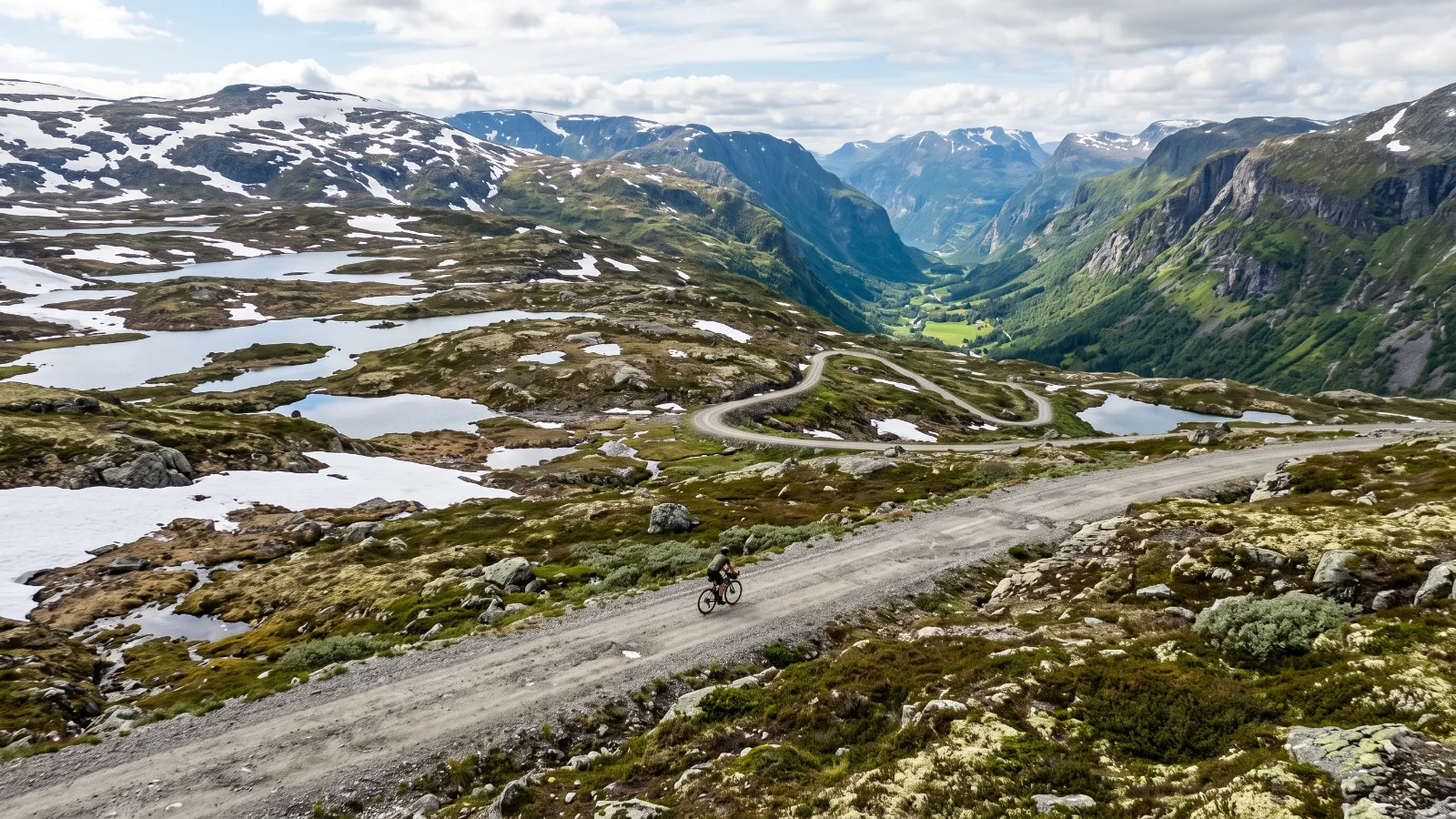
Rallarvegen, the Navvies' Road, was built between 1902 and 1909 as a construction track for the Bergen Railway and has been open to cyclists since 1974. It is Norway's best-known gravel ride: an 80km point-to-point from Haugastol, high on the Hardangervidda plateau, down through Finse and Myrdal to the fjord village of Flam. The surface is unpaved throughout, mostly firm compacted gravel with rockier, looser stretches near the top. There is one climb early on to around 1,310 metres at Fagernut, then the route is a long, spectacular descent past waterfalls and glacier views into Flamsdalen. It only opens from mid-July to mid-September once snow clears; even then, weather on the plateau can turn quickly, so pack for cold and wet conditions regardless of the forecast. Cafes at Finse and Myrdal break up the ride, and bikes plus return train tickets to Haugastol are easy to arrange from Flam.
Good to know
- Over 80 km. Plan your food and water stops before you go.
- Riders report next to no traffic.
Before you go
Starts above 1,000m on the Hardangervidda plateau; carry warm layers even in summer, weather changes fast. Bike hire and return train transport widely available at Flam and Myrdal.
Route information from en.wikipedia.org
- Distance
- 80 km
- Route
- Point to point
- Best season
- Mid-July to mid-September only; the high plateau is snowbound outside this window.
- Surface
- Chunky gravel
- Activity
- Ride
- Rough time
- 3.5 to 5.5 h
Key facts
Difficulty
How hard is it?
Overall difficulty
Moderate2.7 / 5
A solid day for most gravel riders.
Scores from the rider who added it. No reviews yet. Worked out from the hilly, rough and technical scores.How much climbing. 1 is flat or gently rolling, 3 has a proper climb or two, 5 is mountain passes and long grades.3
How rough the surface is. 1 is smooth hard-packed gravel, 3 has loose or corrugated stretches, 5 is rocky, rutted or sandy for long sections.3
How much skill it takes. 1 needs none in particular, 3 has loose descents or creek crossings, 5 is singletrack, steep drops or hike-a-bike.2
How many cars. 1 is almost none, 3 shares some sealed road with traffic, 5 has busy or fast sections.1
Riders say
Rider reviews
Honest ratings from members who have ridden it.
Keep riding
More rides to try
Adelong, Australia
Adelong Gravel Ride
El Chalten, Argentina
Lago del Desierto to El Chalten