
Feldberg, Germany
Ride · Ilanz, Switzerland
Haute Route Mundaun
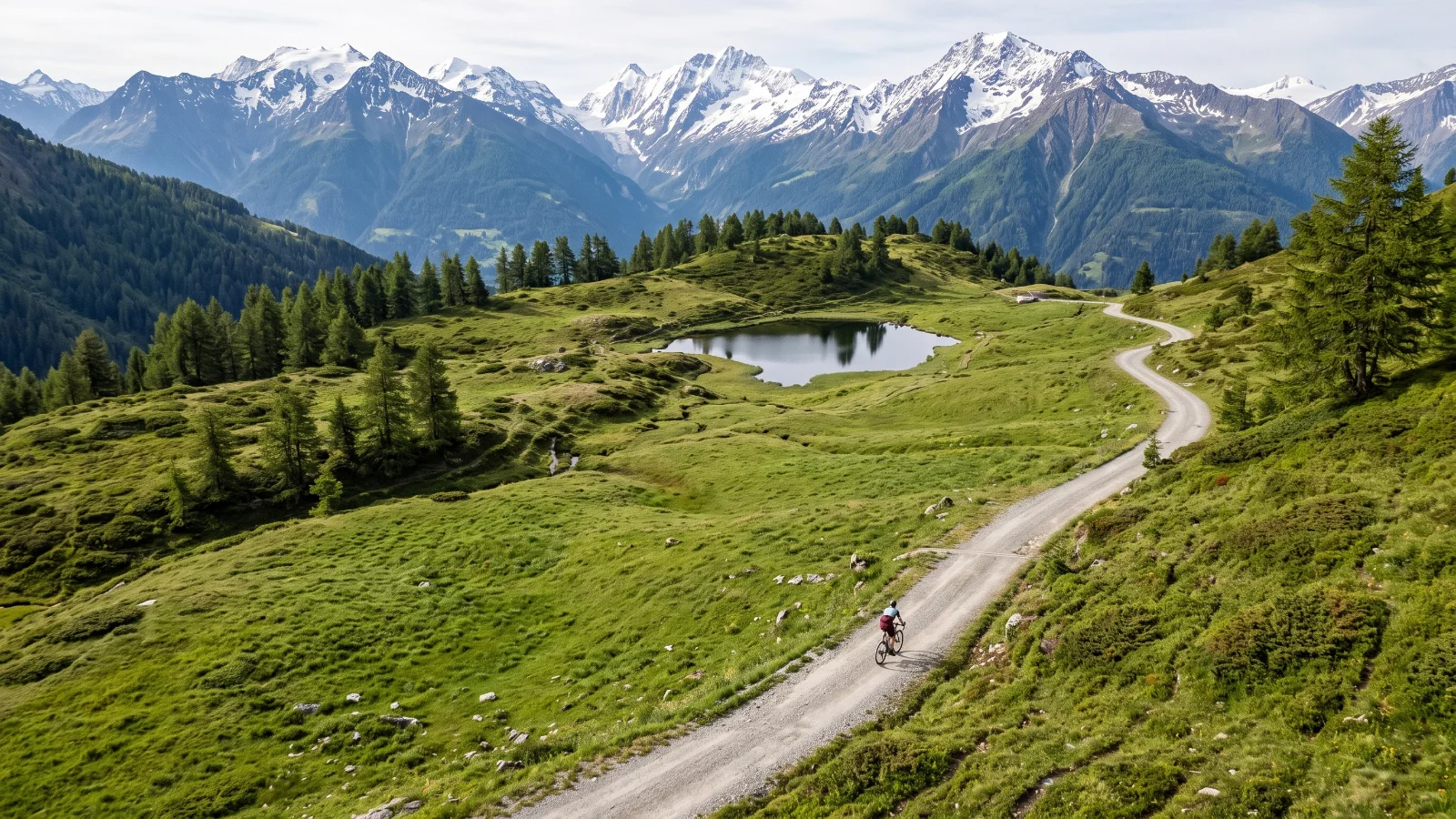
A demanding 68km alpine gravel loop from Ilanz in Graubunden, climbing to over 2000m past an alpine bathing lake.
Illustration
- 68kilometres
- 1,992metres climbing
- Mixedsurface
The ride
About this ride
One of ten official gravel routes promoted by Graubunden Tourism, this loop starts in the railway town of Ilanz and immediately tackles a steep gravel climb up to Flond before dropping into quieter forest paths through the villages of Morissen and Vella. A second, longer ascent follows, passing the Davos Munts alpine bathing lake on the way to Alp Nova, the route's high point above 2000 metres, before a long descent back through the Vorderrhein valley to Ilanz. This is a proper mountain gravel ride rather than a rolling countryside loop, with real elevation and technical climbing sections, so fitness and bike-handling both matter. The Rhaetian Railway runs directly to Ilanz from Chur, making this an easy car-free day out from the Graubunden hub. Snow can linger into June at the higher points.
Good to know
- 29 metres of climbing for every kilometre. Pace it.
- Riders report next to no traffic.
Before you go
Reachable by Rhaetian Railway from Chur; carry warm layers even in summer given the altitude.
Route information from graubuenden.ch
Difficulty
How hard is it?
Overall difficulty
Hard3.7 / 5
Expect to work for it.
Scores from the rider who added it. No reviews yet. Worked out from the hilly, rough and technical scores.How much climbing. 1 is flat or gently rolling, 3 has a proper climb or two, 5 is mountain passes and long grades.5
How rough the surface is. 1 is smooth hard-packed gravel, 3 has loose or corrugated stretches, 5 is rocky, rutted or sandy for long sections.3
How much skill it takes. 1 needs none in particular, 3 has loose descents or creek crossings, 5 is singletrack, steep drops or hike-a-bike.3
How many cars. 1 is almost none, 3 shares some sealed road with traffic, 5 has busy or fast sections.1
Riders say
Rider reviews
Honest ratings from members who have ridden it.
Keep riding
More rides near Ilanz
Cortina d'Ampezzo area, Italy
Fanes Waterfalls Gravel Loop
Bra, Italy
Piemontgravel Langhe Loop