
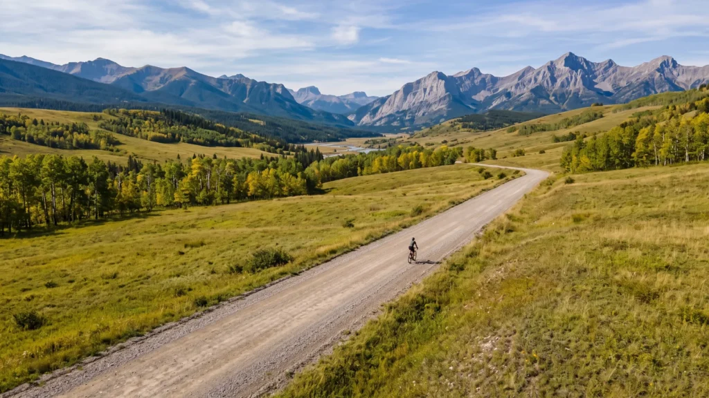
Diamond Valley (Turner Valley), Canada
Ride or run · Elora to Cataract, Canada
Elora Cataract Trailway
A hard packed rail trail linking two Ontario watersheds through farmland and small towns.
Illustration
- 47kilometres
- Point to pointroute
- Rail trail or bike pathsurface
The ride
About this ride
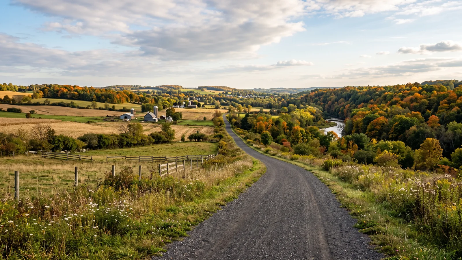
Built on a former Canadian Pacific Railway line, the Elora Cataract Trailway runs point to point for 47 kilometres between the town of Elora and Cataract, near the Forks of the Credit, linking the Grand and Credit river watersheds. The surface is a wide, stone screened gravel path, generally flat with only the gentle grades typical of an old rail line, making it comfortable for riders of most abilities. The route passes through Fergus, Hillsburgh and Orton, with additional access points along the way if you want to ride a shorter section instead of the full trail. Farmland, forest and small town main streets make up most of the scenery, with Belwood Lake Conservation Area accessible near the eastern end. As a point to point ride, most people either arrange a shuttle or ride there and back for whatever distance suits the day. The trail is best ridden from spring through autumn; Ontario winters bring snow and ice that make it unsuitable for a gravel bike.
Good to know
- Riders report next to no traffic.
- Low scores across the board. A good first gravel ride.
Before you go
Point to point trail; additional access points at Belwood Lake Conservation Area, Orton and Hillsburgh allow shorter rides.
Route information from grandriver.ca
- Distance
- 47 km
- Route
- Point to point
- Best season
- Spring through autumn
- Surface
- Rail trail or bike path
- Activity
- Ride or run
- Rough time
- 2 to 3.5 h
Key facts
Difficulty
How hard is it?
Overall difficulty
Easy going1.0 / 5
Fine for a first gravel ride.
Scores from the rider who added it. No reviews yet. Worked out from the hilly, rough and technical scores.How much climbing. 1 is flat or gently rolling, 3 has a proper climb or two, 5 is mountain passes and long grades.1
How rough the surface is. 1 is smooth hard-packed gravel, 3 has loose or corrugated stretches, 5 is rocky, rutted or sandy for long sections.1
How much skill it takes. 1 needs none in particular, 3 has loose descents or creek crossings, 5 is singletrack, steep drops or hike-a-bike.1
How many cars. 1 is almost none, 3 shares some sealed road with traffic, 5 has busy or fast sections.1
Riders say
Rider reviews
Honest ratings from members who have ridden it.
Keep riding
More rides to try
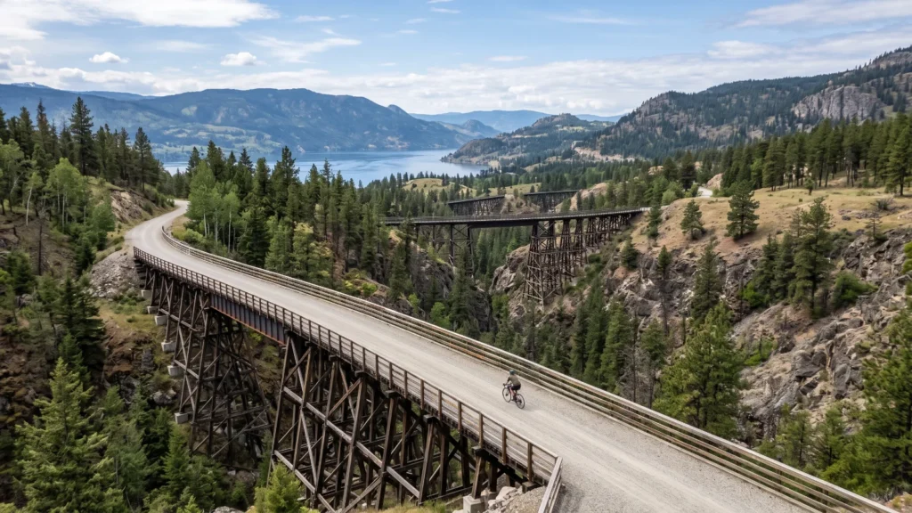
Kelowna, Canada
Myra Canyon Trestles
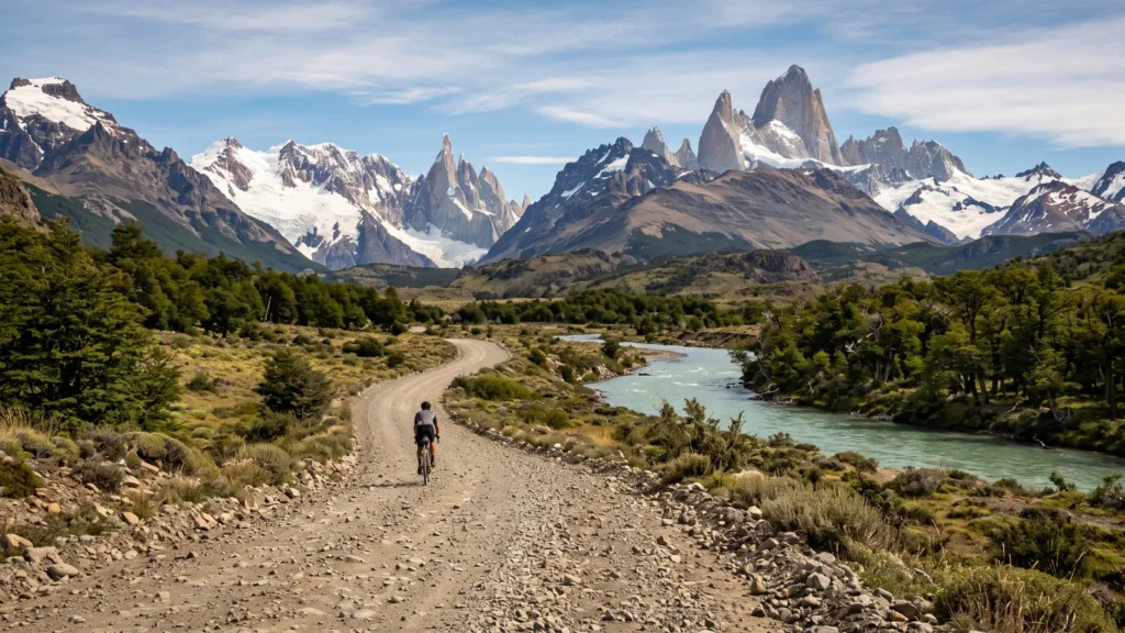
El Chalten, Argentina
Lago del Desierto to El Chalten