
Meringandan, Australia
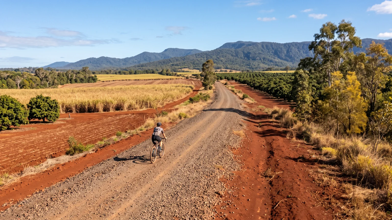
Ride · Atherton, Australia
Atherton Tablelands Rail Trail
A gentle 38 km rail trail from Mareeba to Atherton on the Tablelands, coarse gravel with a steady descent.
Illustration
- 38kilometres
- Point to pointroute
- Rail trail or bike pathsurface
The ride
About this ride
Following the old Mareeba to Atherton railway line, this rail trail covers 38 kilometres with a gentle overall gradient, descending roughly 200 metres as it runs from Mareeba south to Atherton, so it rides more easily in that direction than in reverse. The surface is coarse gravel throughout, wide and comfortable for a gravel or hybrid bike, though the crossing under the Kennedy Highway at Rocky Creek has a steep, rutted approach worth taking slowly. A central section between Mareeba Airport and Walkamin has previously needed repair work, so check current conditions with Tablelands Regional Council before relying on the full length being open. Atherton and Mareeba both have full services, and the trail passes through smaller settlements along the way for coffee stops. April to September is the recommended season, avoiding the wet tropics summer. There is no motor traffic on the trail itself, though it shares access points with walkers and horse riders.
Good to know
- Riders report next to no traffic.
- Low scores across the board. A good first gravel ride.
Before you go
A central section near Walkamin has needed repair in the past; check Tablelands Regional Council for current status.
Route information from railtrails.org.au
- Distance
- 38 km
- Route
- Point to point
- Best season
- April to September, avoiding the wet tropics summer
- Surface
- Rail trail or bike path
- Activity
- Ride
- Rough time
- 1.5 to 2.5 h
Key facts
Difficulty
How hard is it?
Overall difficulty
Easy going1.3 / 5
Fine for a first gravel ride.
Scores from the rider who added it. No reviews yet. Worked out from the hilly, rough and technical scores.How much climbing. 1 is flat or gently rolling, 3 has a proper climb or two, 5 is mountain passes and long grades.1
How rough the surface is. 1 is smooth hard-packed gravel, 3 has loose or corrugated stretches, 5 is rocky, rutted or sandy for long sections.2
How much skill it takes. 1 needs none in particular, 3 has loose descents or creek crossings, 5 is singletrack, steep drops or hike-a-bike.1
How many cars. 1 is almost none, 3 shares some sealed road with traffic, 5 has busy or fast sections.1
Riders say
Rider reviews
Honest ratings from members who have ridden it.
Keep riding
More rides to try
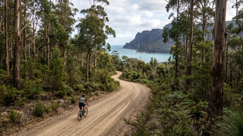
Eaglehawk Neck, Australia
Fortescue Bay Road
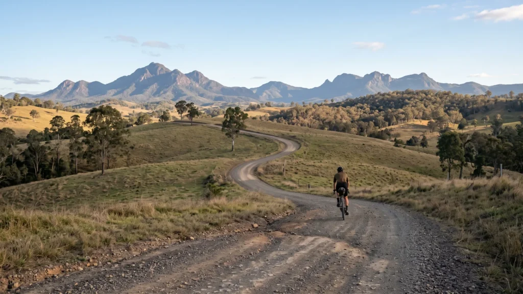
Boonah, Australia
Dirty Boonah Mini